Maps

Maps provide a Visual Representation
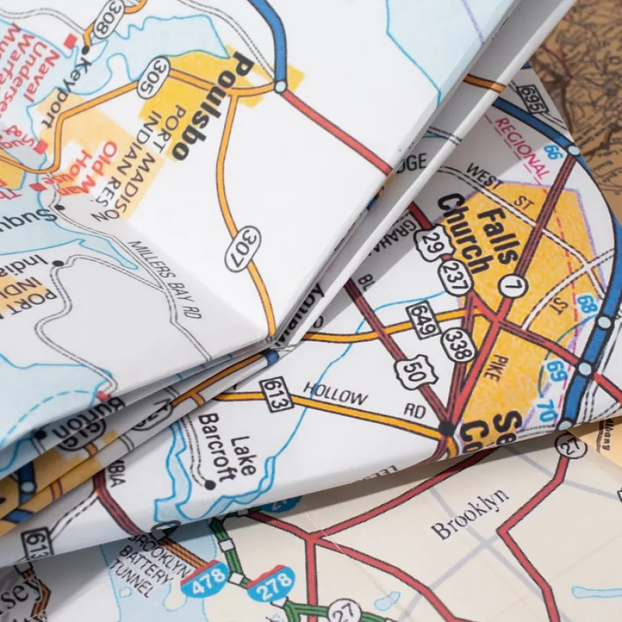
Maps depict the physical features of a specific geographical area. By showing the spatial relationship between various points, a map helps people successfully navigate their surroundings. Because most maps represent large areas, they are often printed in a large format to include as many details as possible.
Because of the larger format, most maps require folding. This reduces the physical size and makes the map easier to handle and store. A variety of folding techniques can be used to reduce the map to its desired finished size.
Maps are printed for a variety of purposes. For example, maps are often printed to assist with recreational activities such as hiking, cycling, or kayaking. Maps can be printed for business purposes, such as those used by utility companies, college campuses, or trade show venues. Tourist attractions also use maps to help guests find their way around theme parks, botanical gardens, and zoos.
In addition, maps can be printed on traditional paper or synthetic paper. Traditional paper is well-suited for most map projects. It is inexpensive, easy to fold, and readily available.
Whereas traditional paper is made of wood pulp from trees, synthetic paper is a manmade substrate created from polypropylene or polyethylene resin. Synthetic paper is higher priced than traditional paper, but it is waterproof and tear-resistant. These features make it a good choice for maps used in wet or rugged environments.
Print Knowledge Center
Concepts, definitions, and advice to supplement your printing knowledge.

The Benefits of PUR Binding
Read This Article

What is C1S Paper and C2S Paper?
Read This Article

What is the Best Page Count for Saddle Stitch Binding?
Read This Article

Map Printing: Which Format is Better Suited for Your Project?
Read This Article